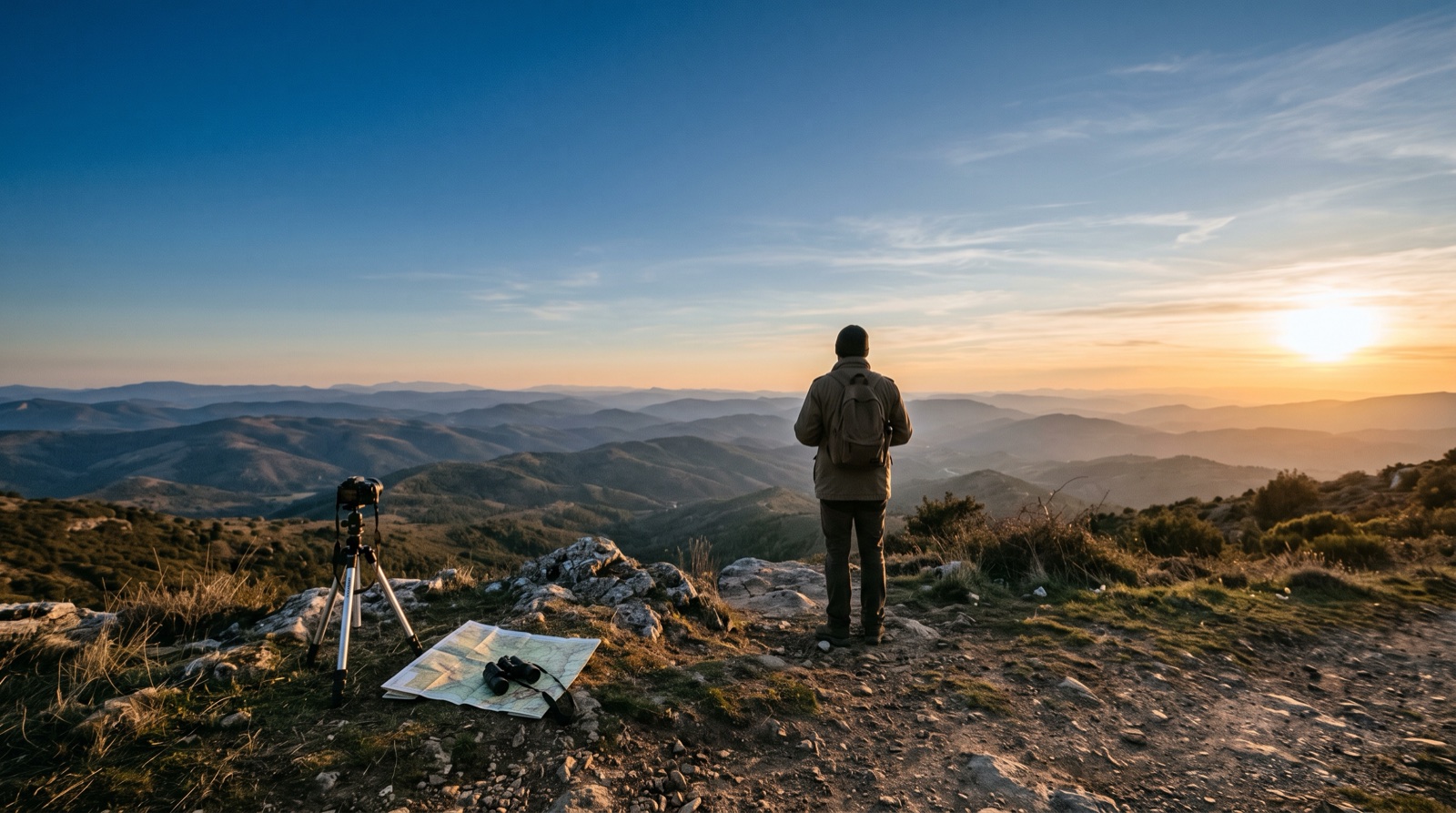
A beautiful eclipse plan can fail for a simple reason: the Sun is behind a ridge, a line of trees, or a building when totality begins. Before you travel, use this three-check routine to turn a promising map pin into a viewpoint you can trust.
1. Start with the Sun direction
For the 12 August 2026 eclipse in Spain, totality occurs late in the evening with the Sun low toward the west. The best viewpoint is therefore not automatically the highest hill or the centre of the path: it is the place with the clearest view along the Sun’s exact direction at your chosen time.
- Note the solar azimuth and elevation for C1, C2, totality, C3, and C4.
- Prefer a wide western horizon when totality is close to sunset.
- Keep a compass, offline map, and local access notes with your field kit.
2. Check the western horizon
A ridge can hide the Sun even when the location has an unobstructed view in every other direction. Use the planner to inspect the terrain profile from the exact observer position, then compare the profile with the Sun’s line of sight.
Terrain data is a planning aid, not a promise. Buildings, trees, local relief, atmospheric refraction, and DEM resolution can change the real view, so treat a marginal clearance as a reason to keep searching.
“The last kilometre of planning is often the difference between watching totality and watching a mountain.”
3. Prepare a nearby backup
Choose a second viewpoint before eclipse day, ideally close enough to reach without crossing an unfamiliar road network. A backup is useful when access is restricted, cloud builds up, or an on-site inspection reveals an obstruction.
- Give the backup its own solar direction and terrain check.
- Confirm parking, walking access, and a safe place to set up.
- Leave enough travel time to move before the partial phase becomes urgent.
A clear view is a complete plan
Run these checks for every candidate, then save the strongest locations with their coordinates and notes. SunEclipses helps you compare the geometry and terrain; the final decision still belongs to an on-site observer who can verify the real horizon.